UN
9 Shipland Houses
£ 425,000
Description
We don't have a Description for this property.
- Bedrooms
- 3
- Bathrooms
- 0
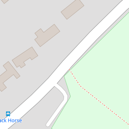
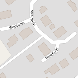
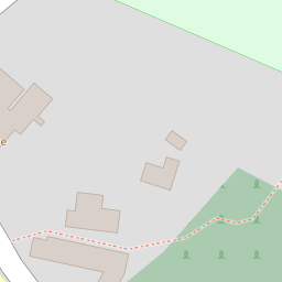

Leaflet © OpenStreetMap contributors
The heatmap indicates the level of crime in the area. The color of the heatmap indicates the crime severity and recency.
Metrics Year-on-Year
- Average area value
- 278,019.00 £Increased by 21.15 %
- Average area rental value
- 919.00 £/moDecreased by 8.01 %
- Est rental Yield
- 3.97 %Decreased by 23.95 %
- Crime Rate
- 91.00 %Unchanged by 0.00 %
from 229,480.00 £
from 999.00 £/mo
from 5.22 %
from 91.00 %
Nearby Schools
| Name | Type | Ofsted | Distance |
|---|---|---|---|
| Pluckley Church Of England Primary School | Academy Converter | Good | 0.15 KM |
| Heath Farm School | Other Independent Special School | Good | 3.58 KM |
| Egerton Church Of England Primary School | Voluntary Controlled School | Good | 3.61 KM |
| Bethersden Primary School | Community School | Good | 5.40 KM |
| Charing Church Of England Primary School | Academy Converter | 5.81 KM |
Images
Nearby Streets
| Name | Average Price | Average Sqft | Distance |
|---|---|---|---|
| Thorn Estate | £ 425,000 | 0 | 0.00 KM |
Nearby Transport
| Name | NLC | TLC | Distance |
|---|---|---|---|
| Pluckley | 5225 | PLC | 2.33 KM |
| Charing (Kent) | 5097 | CHG | 5.34 KM |
| Lenham | 5111 | LEN | 8.26 KM |
Nearby Listings
| Address | Price | Type | Score | Distance |
|---|---|---|---|---|
| Westfields, Pluckley, TN27 | £ 375,000 | BUY | 7 / 10 | 0.12 KM |
| Pluckley Village | £ 925,000 | BUY | 8 / 10 | 0.63 KM |
| Pluckley | £ 600,000 | BUY | Unknown | 1.04 KM |
| Station Road, Pluckley | £ 699,995 | BUY | 8 / 10 | 1.04 KM |
| Station Road, Pluckley, TN27 | £ 485,000 | BUY | Unknown | 1.12 KM |
Nearby Properties
| Address | Price | Distance |
|---|---|---|
| 9 Shipland Houses | £ 425,000 | 0.00 KM |
| 6 Shipland Houses | £ 350,000 | 0.00 KM |
| 37 Westfields | £ 175,000 | 0.13 KM |
| 7 Westfields | £ 194,000 | 0.13 KM |
| 21 Westfields | £ 328,000 | 0.13 KM |